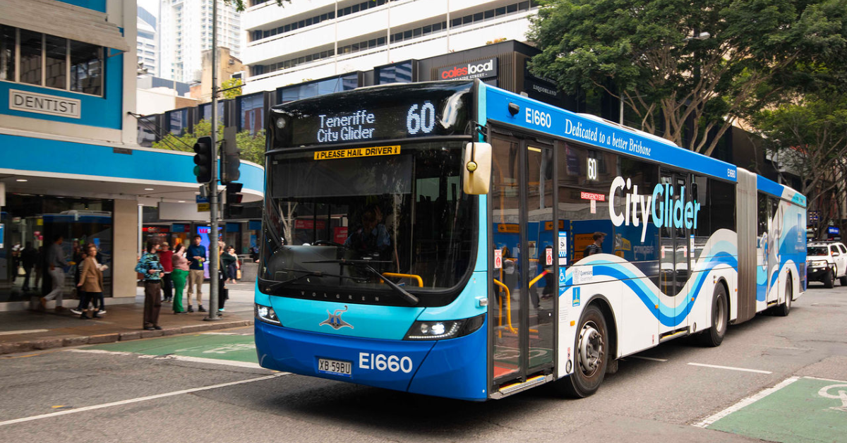
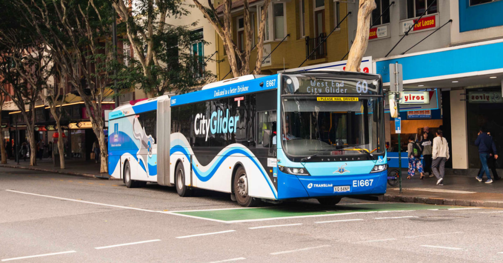
Commuters setting out from Larapinta face a gruelling 123-minute public transport journey to reach the city centre, highlighting the stark divide in everyday travel across outer Brisbane neighbourhoods.
How does sheer distance stack up against actual infrastructure? While inner-city dwellers enjoy rapid transit links, outer fringe pockets often grapple with extended travel chains stretching well past the two-hour mark. Similar endurance commutes were mapped in remote pockets, capturing a 113-minute transit from Wights Mountain to Samford Valley and a 107-minute trek between Anstead and Kenmore.
Dedicated transit lines rewrite the rules entirely. Suburbs sitting directly on high-frequency rail corridors or dedicated busways often outperform residential zones much closer to the heart of the city. Zillmere proves this point well. Positioned roughly 14 kilometres out, a direct train connection allows it to outpace several inner-ring locations bogged down by everyday road congestion.
Proximity offers no guarantees. Pockets located mere kilometres from the centre still encounter sluggish travel times when relying heavily on winding local roads or indirect neighbourhood services. Population density dictates these outcomes. Traditional fixed-route services thrive in densely populated neighbourhoods where thousands of residents live within a short stroll of a stop. In lower-density communities, transport designers face the difficult task of balancing direct routes with community access, often resulting in winding paths and extra stops that slow down the journey.
Building entirely new heavy rail corridors to service sparsely populated outer zones remains financially unfeasible. Instead, experts advocate for increasing housing density around established transport hubs to ensure more residents can access rapid transit without relying on indirect routes.
Can public transport truly beat the car? Across the metropolitan area, it successfully beat private vehicles in dozens of suburbs, particularly those anchored by reliable train lines. Bowen Hills, Fortitude Valley, Milton, Newmarket, South Brisbane, Taringa, Northgate, and Wilston recorded the fastest transit trips into the CBD, all relying on trains that outpaced peak-hour driving times.
Pockets like Upper Brookfield struggle with a complete lack of practical transit options, having no stops within a ten-minute walk and requiring a lengthy journey just to reach the nearest train station. Meanwhile, transport authorities and local councils report rising patronage numbers, driven in part by discounted fare trials and ongoing network upgrades aimed at keeping commuter traffic moving smoothly across the region.
The Oxley Creek Transformation project brought new life to Larapinta, with Warril Parkland evolving into a thriving recreational space featuring nature-based attractions and ecological restoration efforts.
The Oxley Creek Transformation Master Plan is a long-term initiative aimed at revitalising the 20-kilometre corridor stretching from the Brisbane River to Larapinta. With a $100 million investment over 20 years, the project seeks to turn the degraded landscape into a world-class green, lifestyle, and leisure destination.
2016: The project was pledged by then city official Graham Quirk with a $100 million commitment.
2017: Oxley Creek Transformation Pty Ltd was established to oversee the project.
2018: The Oxley Creek Transformation Master Plan was finalised and implementation commenced.
2020 (July): Warril Parkland was officially opened and welcomed as a key addition to the Calamvale Ward.
Key milestones include the completion of various parklands, such as Warril Parkland in Larapinta, which offers a range of recreational facilities and environmental restoration efforts.
Photo Caption: Wayfinding map of Warril Parkland Photo Credit: BCC
Current Developments in Larapinta
Before its transformation, Warril Parkland was part of an existing bushland reserve consisting mainly of natural areas and picturesque lakes. It was identified as an area with the potential to be expanded into a regional parkland to enhance recreational opportunities and environmental sustainability. The site was primarily underutilised, with minimal infrastructure to support public access and recreation.
Developed to educate children of all ages on sustainability, the Green Heart Ranger Program provides opportunities to protect and enhance Oxley Creek and its surrounding green spaces. Participants can build their knowledge about the area’s people, plants, and animals through interactive activities and challenges. The program includes:
Educational workshops and hands-on activities focused on conservation.
The Warril Parkland Discovery Trail, featuring quizzes and challenges to test environmental knowledge.
Seasonal events that encourage kids to actively participate in park care initiatives.
Community initiatives such as tree planting and clean-up events have demonstrated strong public involvement. Groups such as the Browns Plains Scout Group and the Oxley Creek Catchment Association have actively contributed to maintaining and enhancing the park.
Visitors have expressed positive sentiments about the park’s facilities. Claudia Purcell praised the playground, highlighting its climbing structures, flying fox, and water play features, and recommended the park as a must-visit destination for families. Honeycomb House Respite also recently enjoyed a barbecue at the park, further showcasing its appeal as a social and recreational hub.
Sabrina Syddall and Andrea Bloor described Warril Parkland as the “Best Park Ever,” noting the extensive range of activities and scenic beauty that kept them exploring all day.
Strategic Corridor Restoration and Environmental Impact
The Strategic Corridor Restoration Plan plays a crucial role in the development of Larapinta by addressing past land degradation issues such as erosion, contaminated land, and habitat loss. Restoration efforts include:
Creek and bushland rehabilitation.
Water quality improvement initiatives.
Habitat connectivity and wildlife protection.
These efforts align with the project’s broader goals of sustainability and ecological resilience, ensuring Larapinta continues to thrive as an environmental asset.
Photo Credit: Oxley Creek Transformation Master Plan
Conclusion: More to Come for Larapinta
With further developments planned, Larapinta is set to become a key destination within the Oxley Creek corridor.
As restoration efforts continue and additional facilities are introduced, the park will offer even greater opportunities for recreation, education, and ecological appreciation.