


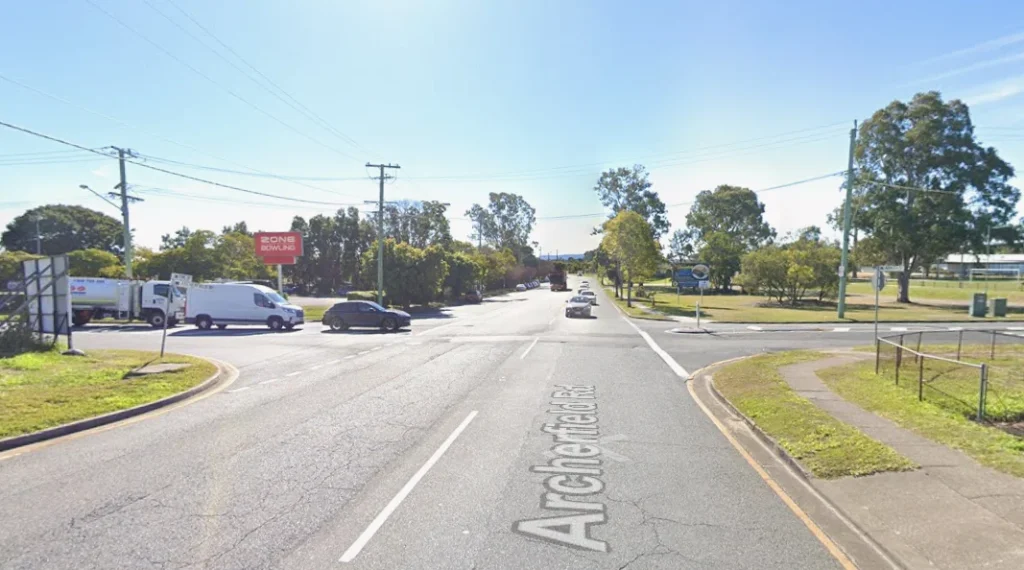
Safety upgrades are in the concept and information gathering stage for the Archerfield Road, Azalea Street and Pine Road intersection in Inala. Around 22,000 vehicles travel through the intersection daily and residents have long raised concerns about safety and difficult traffic flow at the site.
Project Timeline And Planning
The new upgrade plan aims to address those issues with safer controls and clearer movement through the area. Brisbane City Council began planning after traffic data and community input showed how often the intersection affects daily travel in Inala and nearby Richlands.

Council held information sessions at Inala Plaza and Richlands Plaza in late October to share early design details and gather feedback. Council said responses from these sessions will inform the next stage of design. Construction is listed for 2027 as planning and investigations continue.
Safety And Traffic Concerns
Media reports cite seven serious crashes at the intersection between 2021 and 2023. Those reports noted the site as one of Brisbane’s more high-risk intersections during that period. Community members have described frequent near misses and regular delays.
Local representatives said residents in Inala have raised these issues for some time, pointing to ongoing concerns about how the intersection operates during busy hours. The upgrade responds to these issues by adding signal control and improving layout.
What The Upgrade Includes
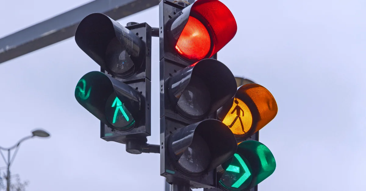
Council outlined a design that adds traffic lights, dedicated turning lanes and a pedestrian crossing. These features aim to improve safety for people walking or driving through the intersection.

The plan focuses on smoother movement between Inala and Richlands and safer pedestrian access across Archerfield Road. Council documents state the goal is to improve the intersection’s safety and daily operation for all road users.
Community Effort Drives Action
Community involvement influenced the planning process. Residents in Inala have consistently raised concerns about the risks and delays at this location. Council leaders said local feedback is important and will continue to guide the design as it develops.
Local representatives stated that community knowledge helped highlight the problems and supported the need for change. The upgrade aligns with Council’s broader safety and traffic improvement program across Brisbane, including the Inala area.
Published 20-November-2025

